The Subway: November 2024

Last sunlight on the canyon floor.

Last November I had the great pleasure of revisiting, for the first time in over 15 years, the Left Fork of North Creek in Zion National Park, what is for me, the seminal landscape. This landscape, this canyon in particular, inspired me to become a landscape photographer. It’s also a place where I learned a lot about photography, an often painstaking process with film.

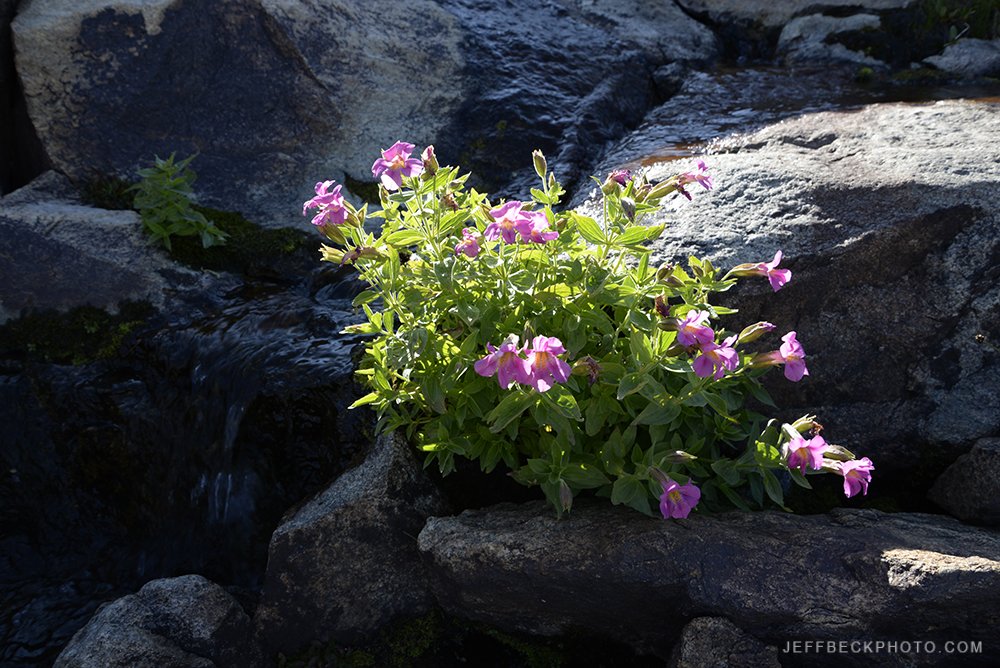
Not sure if this is Scarlet Monkeyflower or Crimson Monkeyflower blooming in November.

The Subway top-down route is an introduction to canyoneering. It’s more than a hike; it requires off trail navigation, swimming through cold pools, and a few short rappels. It requires a little bit of gear and the better part of a day. In fact, I’ve hiked out in the dark more often than I’ve hiked out in the light, and this trip was no exception. This time it was mostly due to the lack of daylight in November, rather than an overly late start or poor navigation. Photography did slow us considerably though.

Keyhole Falls

It was a slightly inauspicious start to the day, the morning of the hike, when I struggled to procure coffee in Springdale, before picking up the permit at the Zion visitor center wilderness desk, where the ranger was visibly annoyed with us. Note: When obtaining a Zion National Park canyoneering permit from the daily lottery, even though you must go in to pick up your permit in person, it makes things go more smoothly if you accept and pay for the permit online in advance of showing up to the counter. That was the first reason the ranger was annoyed with us, then, when her second question was, “Wetsuits or drysuits?” and our answer was, “neither”, her disdain was apparent. “You won’t have any fun.”

Hallowed halls and scalloped streambed.

…”It’s been freezing overnight and even though the forecast for Zion is 60 degrees today, it’s not going to be that warm where you’re going.” Her warning was certainly making me second guess our objective. Maybe we should just hike up from the bottom to see the Subway and avoid the swimming up-canyon. Nah, we came to do the top-down route. We knew we were going to be up against some cold water. Let’s go for it, we’ve got a good forecast and drybags to keep our warm clothes dry.

Glowing light in the Subway.

That water was possibly the coldest I’ve ever submerged my body in. We did see thin sheets of ice in the still water just upstream of the mandatory swim. Feeling came back after ten or fifteen minutes. We did opt to climb up and crawl across the muddy ledge to bypass an additional swim just down canyon, but we did have fun. The mandatory exposure to cold water is short enough that warm dry clothes afterwards were enough for us on this lovely November day. But, I get it, I’m sure the park service is sick of constantly having to rescue boneheads from the backcountry.

From the core to the sky.

I’ve lost track of the exact number of times I’ve hiked the Subway, but it’s got to be close to a dozen. There were a few firsts on this trip. It was the latest in the year I’ve ever made the trek; I’ve been through in October before. It was also the first time I’d ever done this hike with just one other person. As it turned out, we were the only ones to go top-down that day and as a reward we had the canyon to ourselves all day.

Magic

It was also the first time, while getting the permit, the ranger asked if we had rope, helmets, harnesses, dry bags, wag bags, and headlamps. It was also probably the first time I could answer yes to all those questions. Every other time but one, I’ve used a handline for the drops, I’d never brought a helmet before, and I was unaware of the existence of the wag bag in my early days running the Subway.

That famous Subway crack.

The one thing about the canyon that had changed dramatically since the last time I’d been there, and really every other time I’d been through, was the deep pools in the Subway, behind the Subway, and below Keyhole falls were completely filled with sand. Large pools, that were more than four feet deep in some cases, were completely filled with hard packed sand with an inch or two of water flowing over the top.

Resistant block.

After leaving the Subway it took us nearly an hour to travel the next quarter mile as we relished the evening light and the tasty scenes. Every new perspective demanded to be photographed. And it wasn’t just me this time, in fact, I had to keep dragging Nikcole away from these beautiful scenes. I knew we had a long way to go, but I had forgotten how rugged the lower canyon is. You’re constantly crossing the stream, going over, around, between, and under boulders and logs. Bomber trails are few and far between and often climb needlessly, only to deliver you back to the stream.

Archangel Cascades

Navigation went pretty well, I remembered the way in for the most part. We did end up on the wrong side of Russell Gulch at one point and had to drop down, cross, and climb back to the route, but we were only off course by a couple hundred feet, and easily got back on track without wasting more than a couple of minutes. Finding the exit in the dark was a little bit trickier. The ranger had warned us not to take the use trails that try to climb up too early and don’t go anywhere. Since I’ve had some first hand experience with that scenario, I was focused on staying at stream level, but we blew right past the exit. We must have been on the wrong side of the stream and didn’t see the sign in the dark. I’m assuming there’s still a sign.

Yeah, we’re going to be hiking in the dark.

Nikcole saved us from wasting too much time, with her All Trails app. When she checked the app, it said the trail was above us. I didn’t believe it. I wanted to press on because the rim looked too high, but the trail we were on quickly petered out. We backtracked to a large stream side carin and took a direct route up a steep rubble filled gully that had been well traveled but ended up not intersecting the actual trail till near the top. Next time, I’ll backtrack a little further. Car to car it took us about 9 hours 20 minutes to complete. I’m guessing there was at least 2 hours of picture taking. My kind of day.

Last flush of light on the canyon wall.

Wind River Range 2022

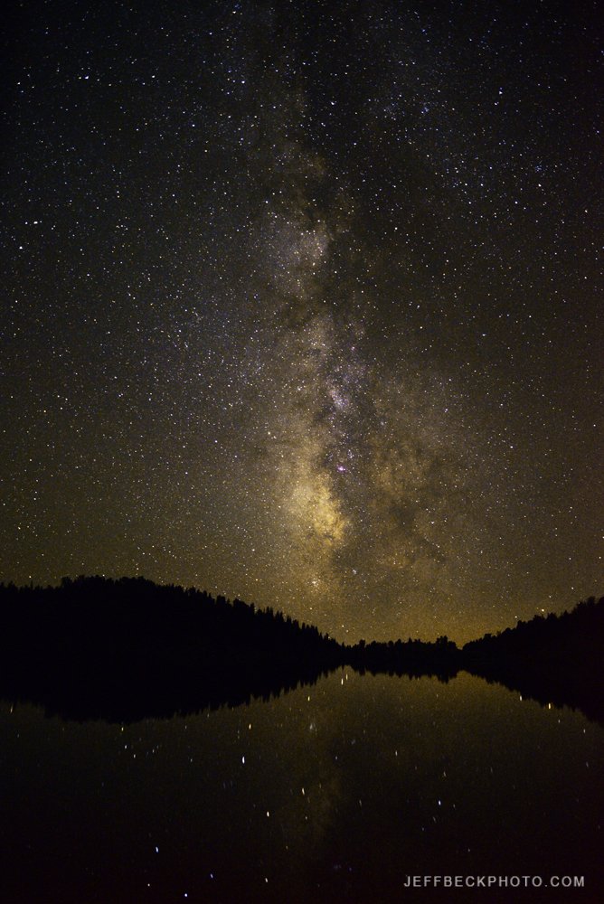
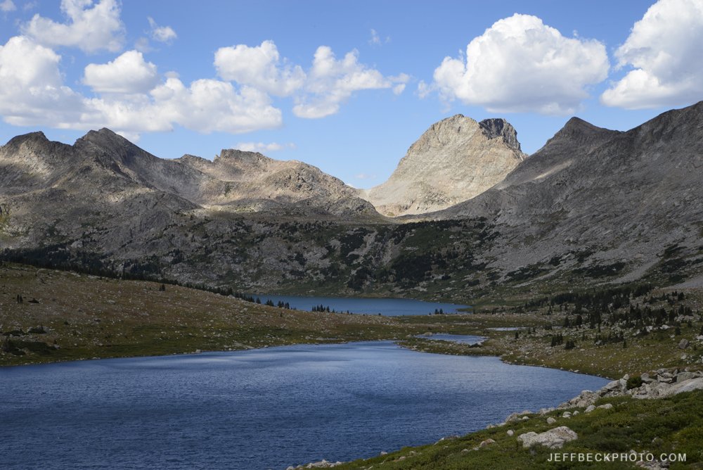
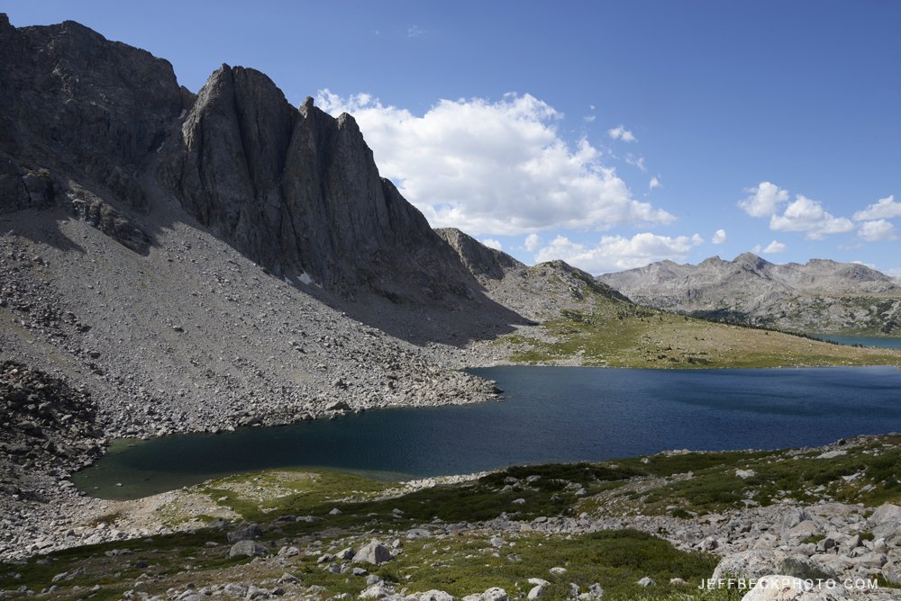
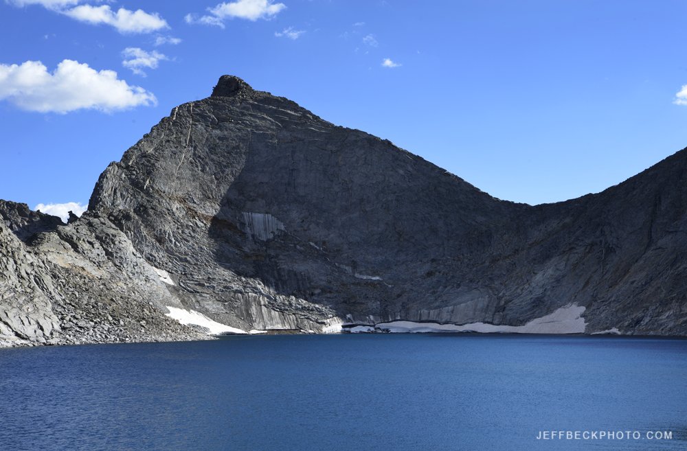
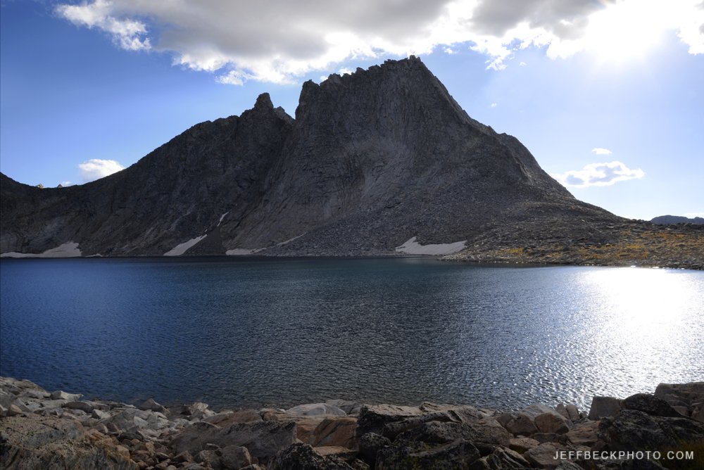
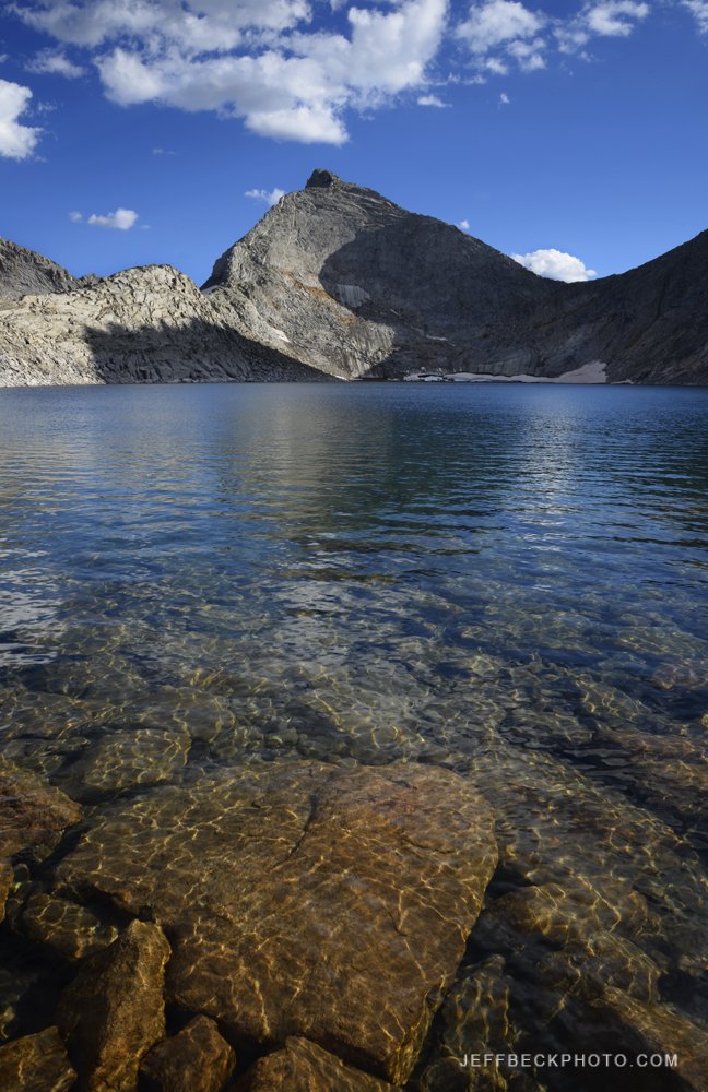
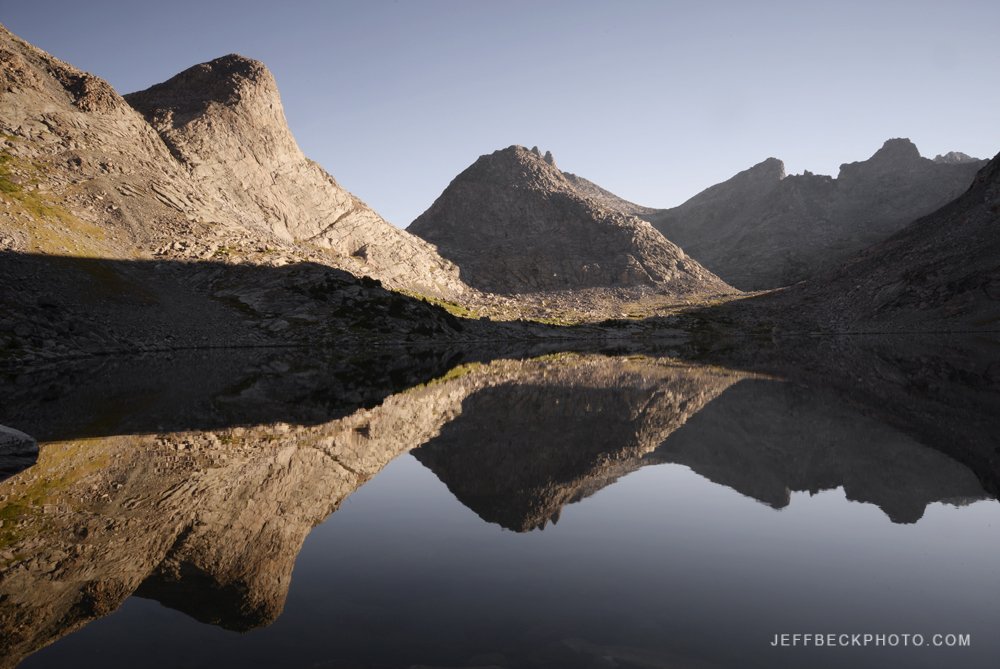
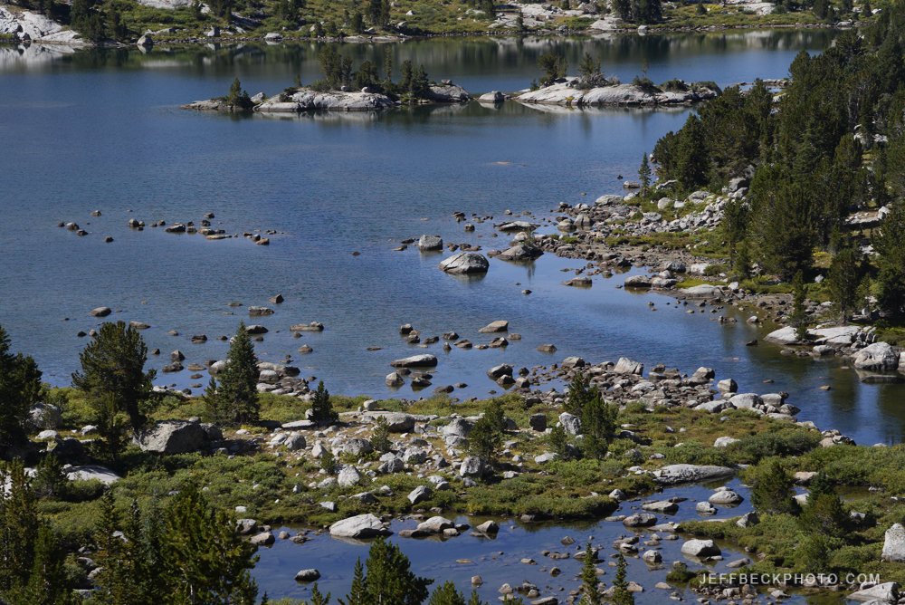
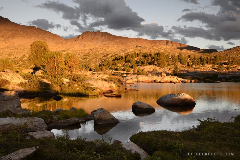
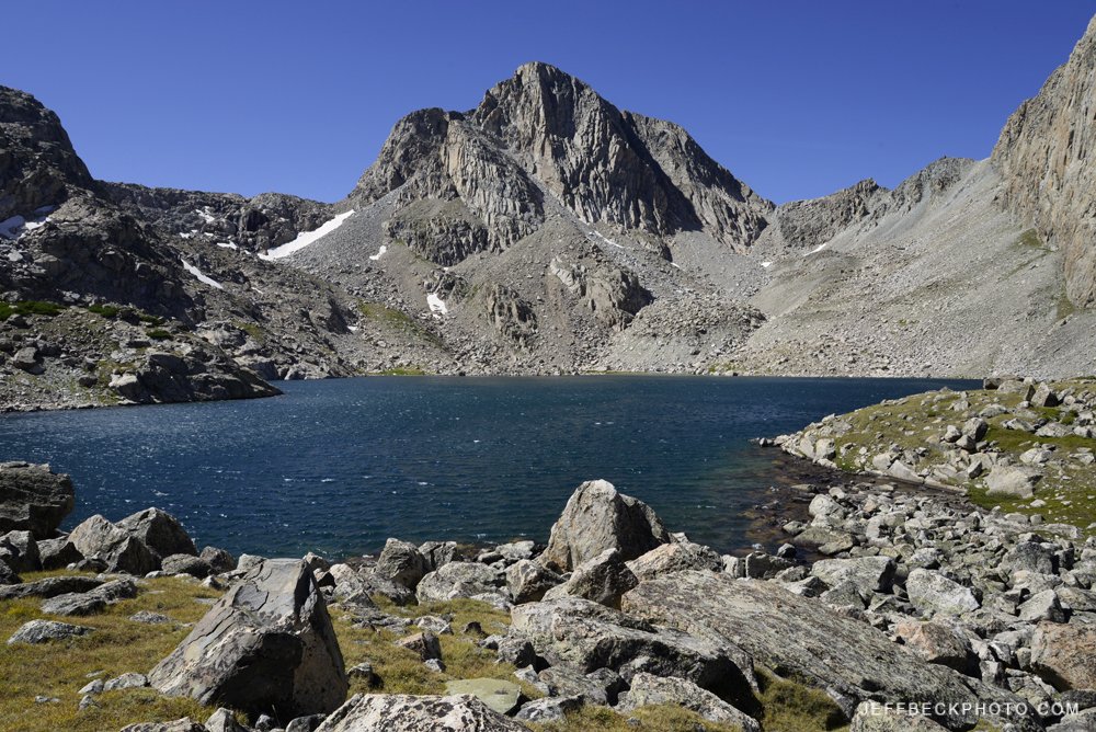
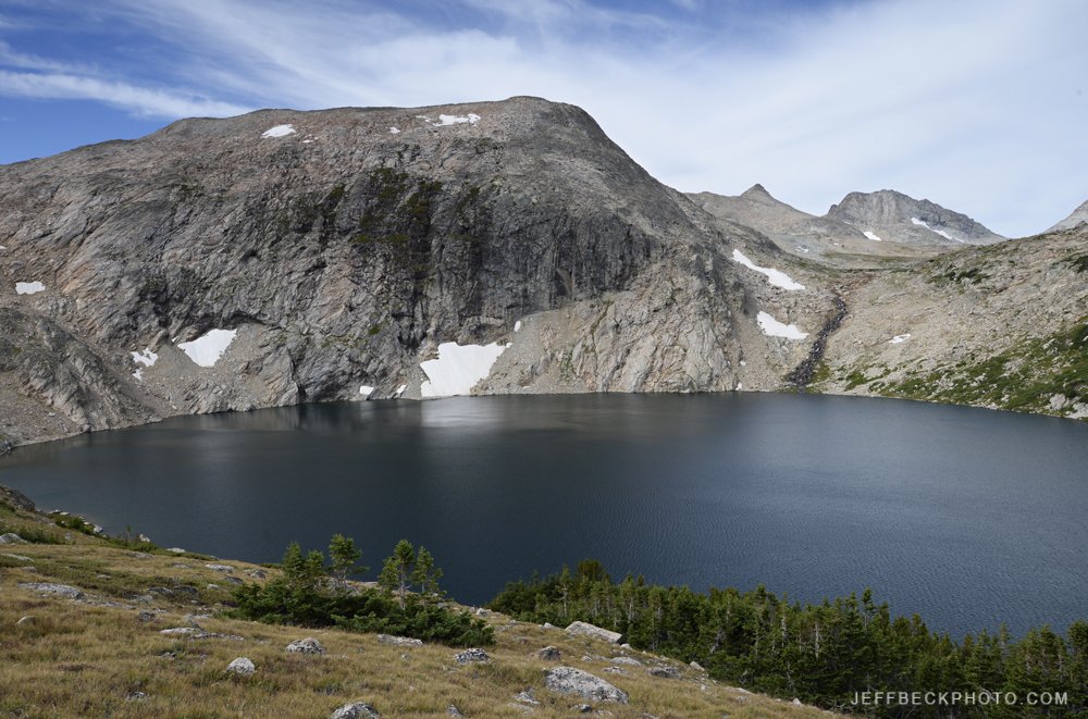
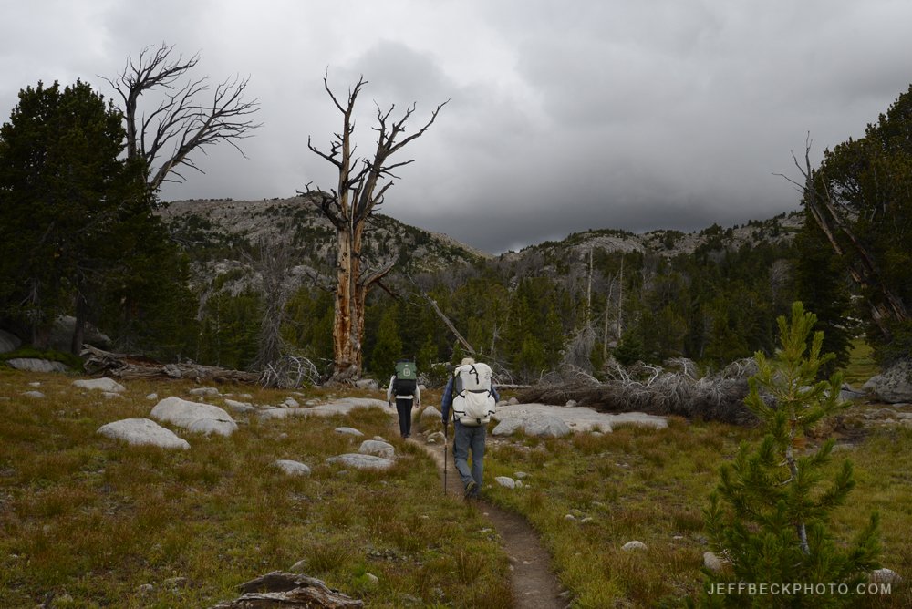
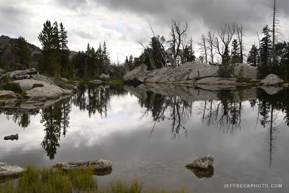
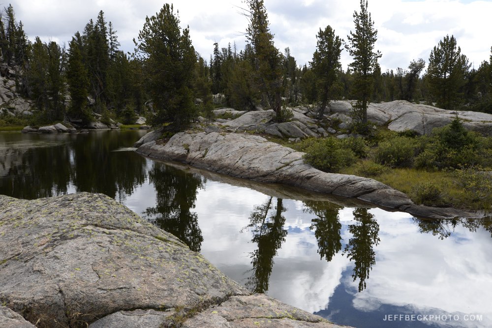
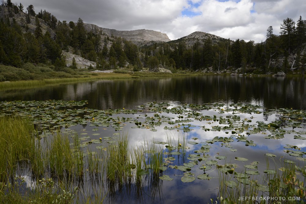
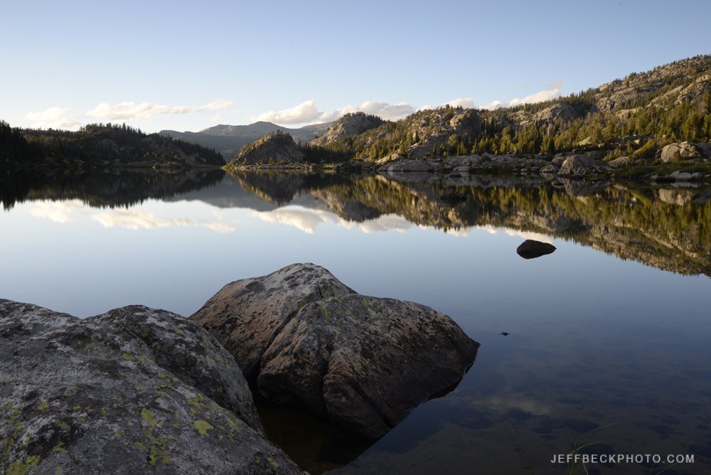
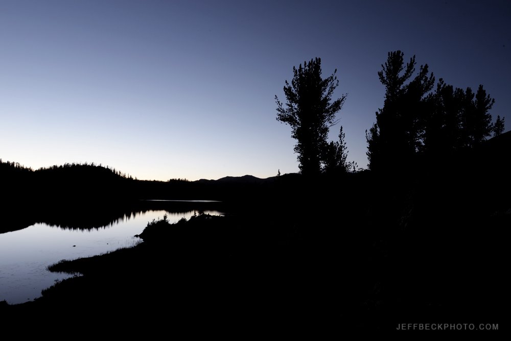
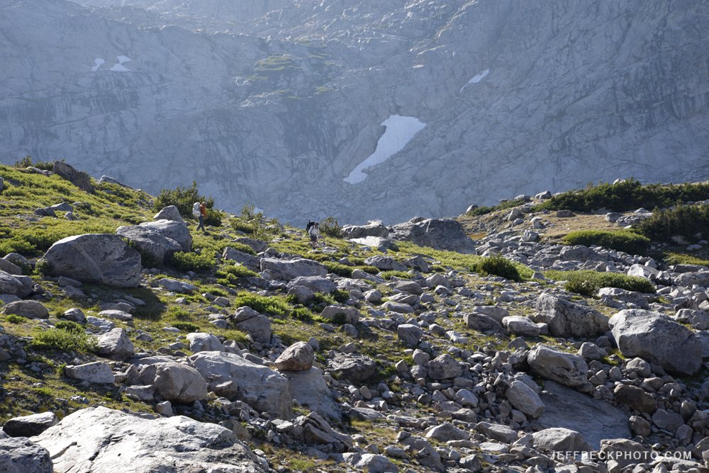
The week before Labor Day 2022, Scott and I did a fabulous six day lolly pop loop from the Scab Creek Trailhead into the Bridger Wilderness of Wyoming. We pushed it on day two to get to a private peninsula halfway up the east side of Rainbow Lake where I made my best ever Milky Way images. On day three we moved camp a short distance to near the outlet of Lee Lake and did a most excellent day hike to Noel Lake and the Continental Divide. Well above treeline, at the base of Nylon Peak, Noel Lake was an instant classic and is high on my list of the most stunning alpine lakes I’ve ever seen. The next day we would visit Donna and take an icy dip. We spent night four on the rocky terraces beside Bonneville Lake after a productive sunset photo session. On the hike out we passed stunning lakes and meadows that invited us to stay the rest of the season. The high grassy meadow lands with massive lakes in the Raid Lake/Dream Lake zone seemed worthy of more time than we had. We spent our last night in the vicinity of Little Divide Lake and got a burger and a beer the next afternoon at the brewery in Pinedale before saying sayonara.

Wind River Range 2023

I’m three years behind on blogging about my Wind River adventures. Thought I’d start with the most recent trip, just wrapped up less than two weeks ago. Scott, Erik, and I did what ended up being quite an elegant loop. We saw a lot of new country and hardly any people. Seemed kind of unusual for the Winds to hike all day for days on end and see nobody; I loved it.

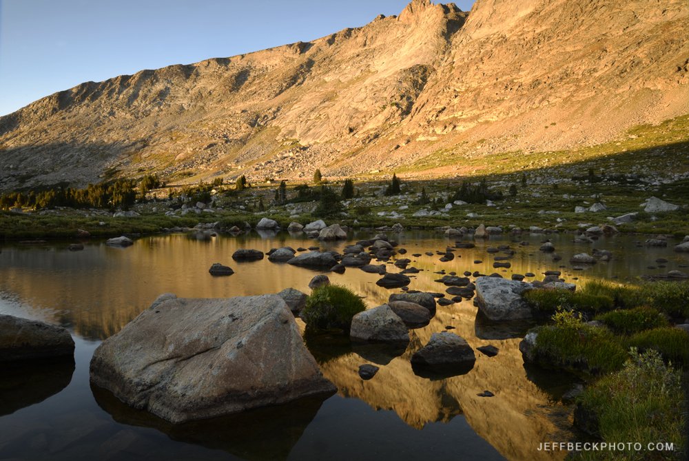
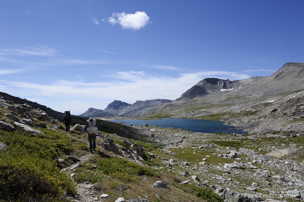
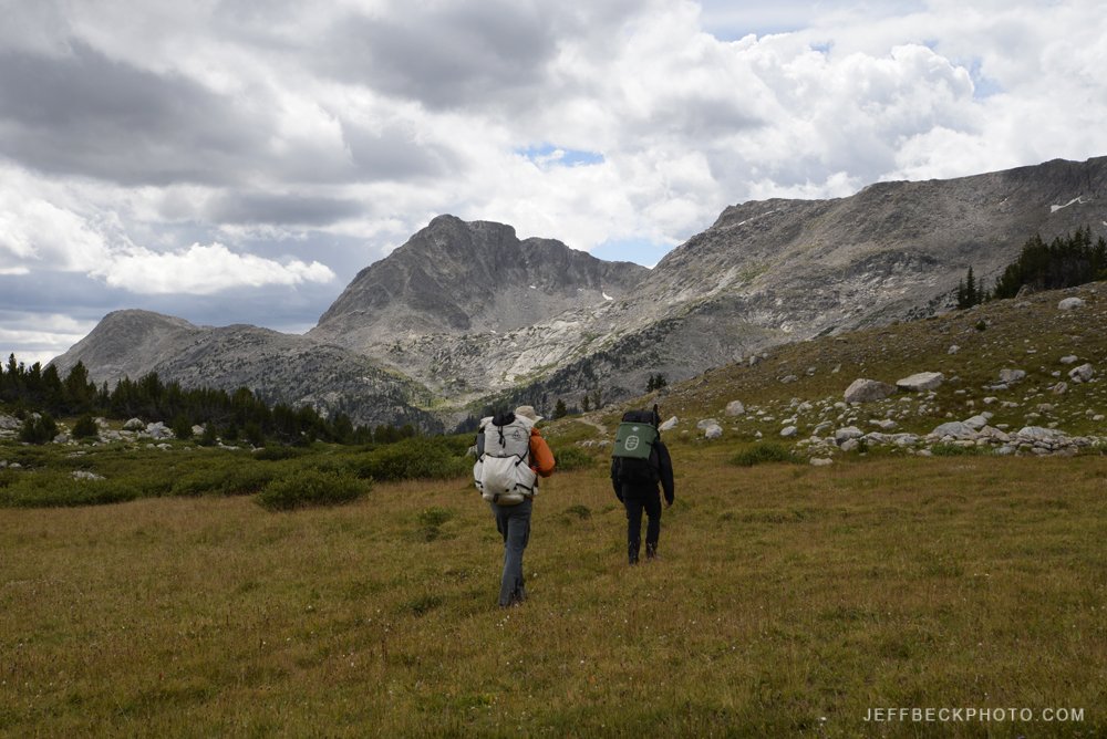
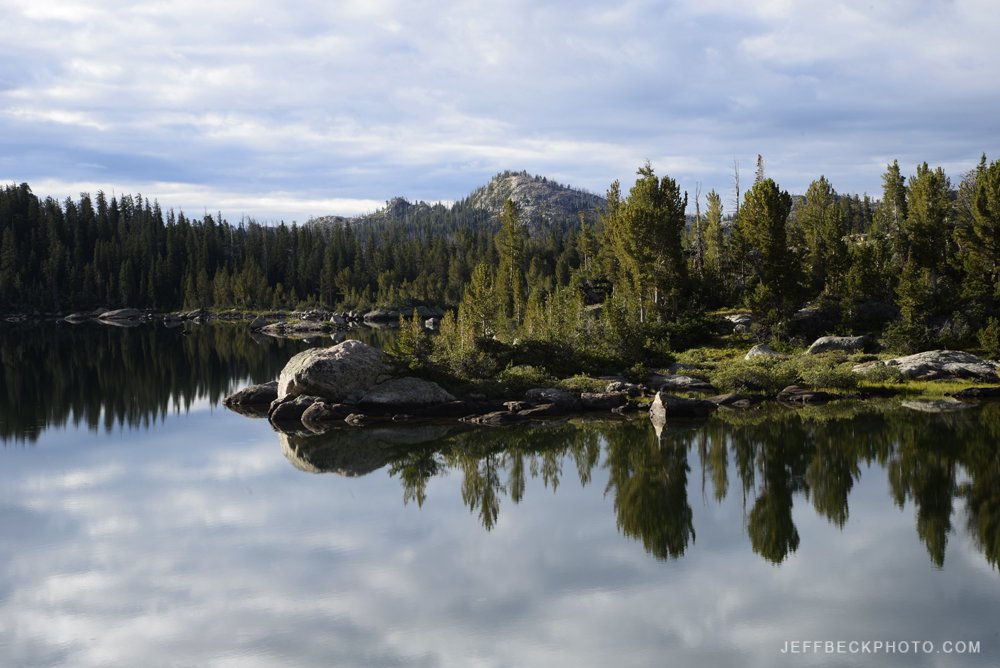
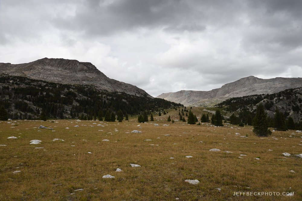
We started in Elkhart Park, took the Pole Creek Trail toward Cook Lakes then caught the Fremont Trail climbing into Bald Mountain Basin where we left the trail and crossed the divide at Angel Pass. We dropped forever from Angel Pass to just below Upper Golden Lake where we spent two nights and did a day hike over Camp Pass between the Snowbank Lakes and got a view of Camp Lake and beyond. Then we followed the Hay Pass Trail from Golden Lakes over Hay Pass and down to Lake Victor. Next we took the Fremont Trail from just below Victor north over Hat Pass, past the Timico trail and caught the rugged Bell Lakes Trail dropping steeply to Chain Lakes where we took the Highline Trail back to Pole Creek. The photos are presented in chronological order.

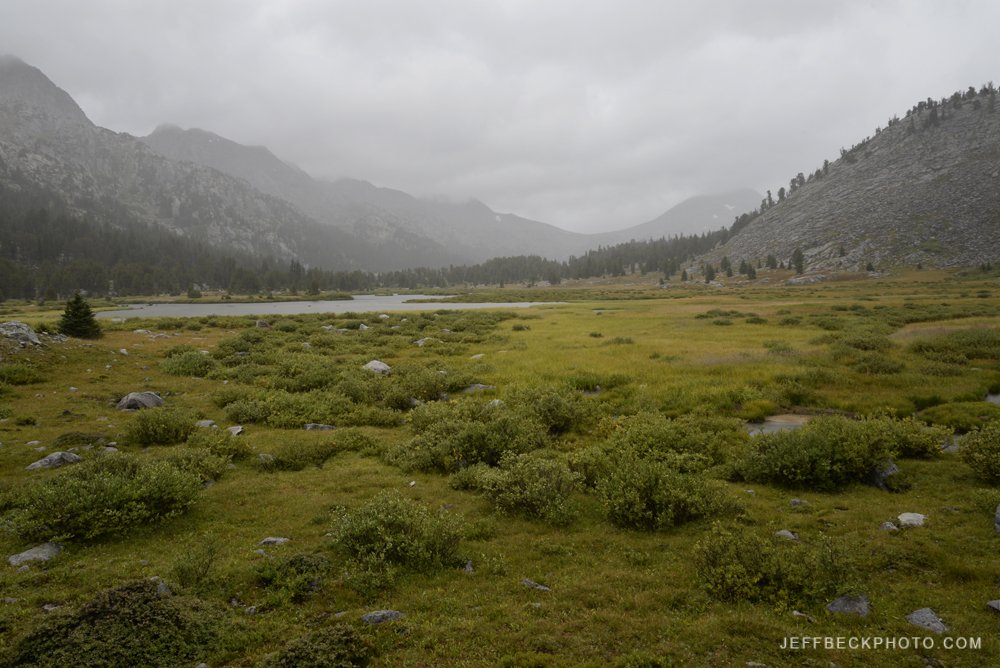
We were on the trail eight days and spent seven nights in the backcountry. Long enough to really get into the rhythm of the place. Thankfully the weather held for us for the most part, until the final day we had really only hiked in the rain for about an hour total and the sun kept coming out so we could dry our gear. On the last day we woke up in the rain, we packed up in the rain and we hiked our last six miles in the rain; I kept thinking how lucky we were.


Wind River Range: August 2020

EB hikes beside upper Titcomb Lake, Bridger Wilderness, Wyoming

I was lucky enough to spend seven days backpacking in the Winds in late August. Making it back in to Titcomb Basin after 20 years was a highlight. As was being back in the Wind River Range with Erik and Rosalie three years after our first trek together there. August twenty years ago was my first backpack in the Winds. This was my fifth. I’m hoping to increase that frequency over the next twenty years.

Our route went from Elkhart Park past Senaca Lake and Island Lake to Titcomb Basin then back to the Highline Trail which we followed over Lester Pass and down to the Cook Lakes Loop. One of the highlights of the trip was hiking to Wall Lake from our camp at Upper Cook Lake. We finished our loop on the Pole Creek Trail past Eklund Lake and back past Photographers Point to Elkhart Park.

Titcomb Basin and vicinity was a zoo. The scenery is undeniable but at times the amount of traffic on the trail was noisy and annoying. We found a gorgeous campsite at the end of a string of lakes below Titcomb Lakes. When we got there there was one other group and we tried to give them a little room and still stay legal by not camping too close to the outlet stream. We turned around and two more groups had moved in, one on either side of us.

On the other side of Lester Pass we finally got a little solitude. It seemed like there were only two other groups in the entire Cook Lakes area while we were there. On two jaunts to Wall Lake, one in the evening by myself and then again in the morning with Erik, we didn’t see another soul.

I loved almost everything about this trip except the light. On day three thick smoke from distant wildfires filled the range and never fully cleared. Looking at my photos from our second evening, and my most productive landscape photo session of the trip, the air was already less than clear. This definitely forced me to concentrate on details which was not necessarily a bad thing. I’ve come home from many a trip to look at my photos and think, I wish I would have focused more on details instead of trying to get everything in the frame all the time.

Some of my favorite images of the trip and certainly the most colorful were of butterflies. There were a ton of butterflies flitting around high wildflower meadows. The Fritillaries were particularly abundant, but the California Tortoiseshells were the most approachable.

Fremont Peak reflected in a small lake below Titcomb Basin, Wind River Range, Wyoming

Fremont Peak reflected in a small lake below Titcomb Basin, Wind River Range, Wyoming

Scanning 35mm Film

Stone Watercourse, Wind River Range, Wyoming

As I’ve been working on the new website, I realized that some of my older film scans were not migrated to newer hard drives. When I first started scanning my film, I made the mistake of scanning a lot of images at smaller sizes because I was trying to save hard drive space, and I didn’t want to clutter up my drives with full size images (100+MB) that weren’t ultimately going to be printed large.

Today, my hard drives are full of images that will never even be proofed - because they’re not good enough. With digital storage costing less than ever, it only makes sense to scan film at the highest possible resolution, creating a master image file that is sized down for proofing, instead of scanning a proof size file and rescanning if a larger file is desired, which is what I used to do.

So, rather than trying to retrieve the digital versions, I’ve been rescanning some of my 35mm slides. Images from my previous website galleries; praiseworthy images that slipped through the cracks because they're not core portfolio images.  I’ve also been scanning some images that had never been transferred to digital. This has made me realize a few things.

Mistake Lake, Wind River Range, Wyoming

 First, I need to be more diligent with the organization and updating of my digital image library. Not migrating digital content to new media or new technology could have catastrophic consequences when there’s no hard copy original to fall back on.

Second, I have a huge collection of images on film that have rarely if ever been seen. Images that were once projected in slide shows, but have never existed in digital form, yet still deserve some attention. I need to resume scanning my best chromes, something I stopped doing once I became firmly established in my digital workflow.

 Third, I should offer my services to people who want to give new life to images on film. I could put my Nikon Coolscan to work. So, if you have precious images on 35mm film (slide or negative) that you’d like to convert to jpeg and tiff, contact me to find out how.

Lizard Head, Wind River Range

Lizard Head (Center), Popo Agie Wilderness, Wyoming

With any image I present here, there are a wide variety of topics I could potentially explore. Sometimes I find it overwhelming to pick an angle to write about, and usually what I do write is not necessarily what I had initially intended to write. I’m guessing that writing is a lot like photography in that masterpieces are produced in the context of practice and dedication, not purely inspiration.

Ultimately, it’s what you do with that inspiration that matters. I know with photography, practice makes it possible to express yourself more clearly and more powerfully. I’m sure that’s true with writing as well. So, it probably doesn’t matter what I write about so long as I keep writing.
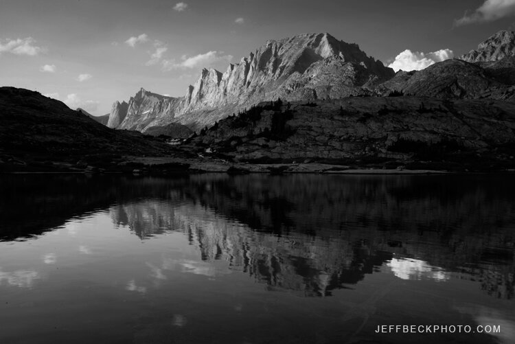
When I was thinking about what to write about this image my first instinct was to explain how a color version of this image was on my old website, in my Western Wilderness Gallery, and how I cut it from my new Mountain Landscapes Gallery, but then once I converted it to black and white, I thought it was even more striking and definitely belonged on the new website. And then, I thought about writing about how I used Photoshop Image>Calculations to convert the color image to black and white and the technique I used to dodge and burn the final image to deliver more impact…boring.

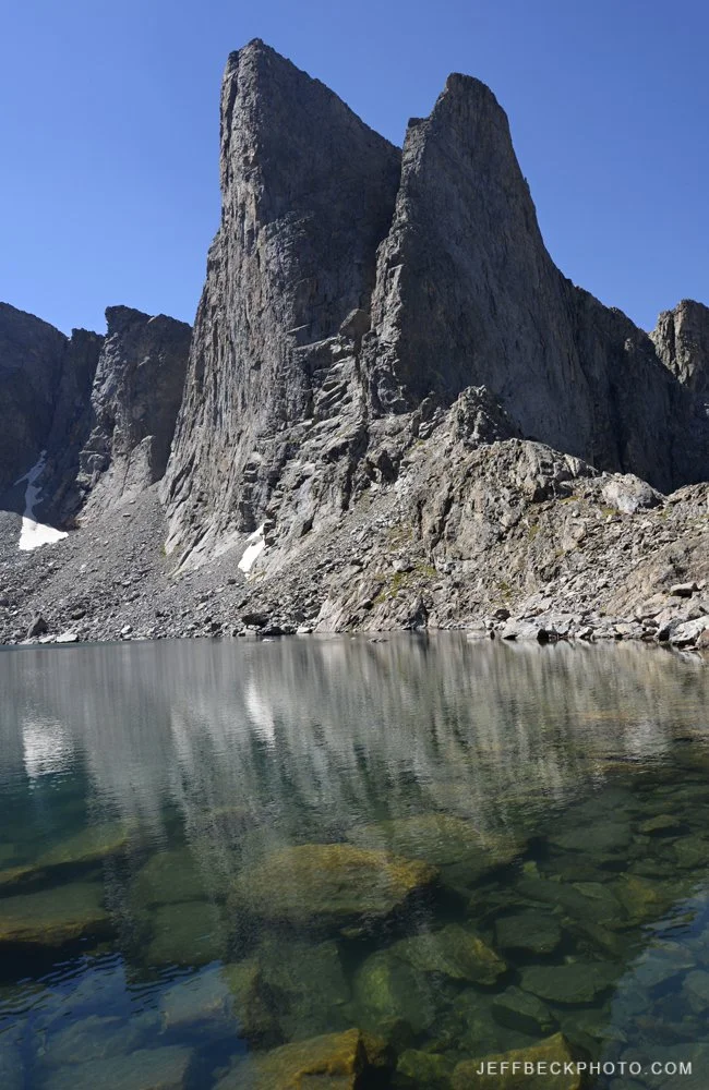
What would probably be a more interesting topic is how it felt to be in this spot. After two days of hiking, to be taking in this view, at more than 12,000 feet high, deep in Wyoming’s Wind River Range, felt amazing. Staring down a knife edge ridge towards Lizard Head Peak, in the Popo Agie Wilderness, with the Cirque of the Towers over my right shoulder, a great friend and hiking companion nearby, clouds swirling around us and the light changing by the minute, this was definitely a moment to savor.

MOUNTAIN LANDSCAPE GALLERY